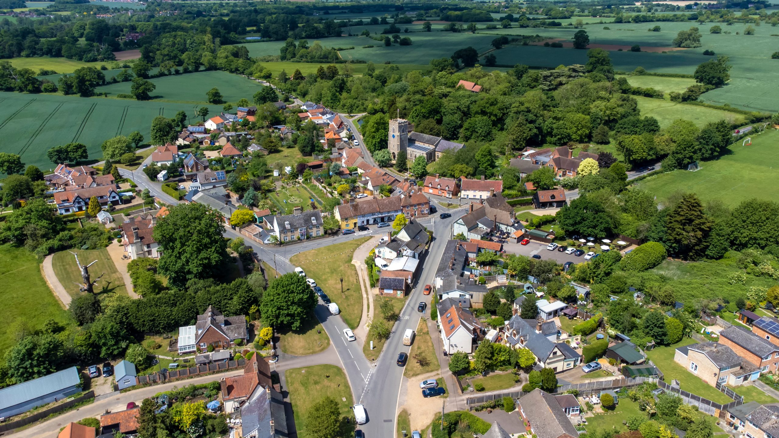
OS Creates Deeper and Richer Buildings Data for Great Britain

Ordnance Survey (OS) has developed an enhanced buildings dataset for Great Britain with contributions from UKBuildings, a land and buildings data solution from leading global data analytics and technology provider, Verisk.
This new richer buildings dataset will provide building age, efficiency, and access information to a range of users from the public sector, the emergency services, OS Partners, and insurance, financial and sustainability sectors.
OS has created a database to host new data enhancements to the OS National Geographic Database (NGD) Buildings data. The data was released in March 2024 and is available via the OS Data Hub.
The enhancements have been delivered under the Public Sector Geospatial Agreement (PSGA), and can be accessed by OS Partners and for free to over 6,000 PSGA members.
The OS NGD Buildings dataset has been enhanced to include the following information provided by Verisk:
- Building age – information on when a building was built;
- Building construction material – information on the primary material from which the building is constructed.
- Basement presence – information on whether a building has a basement and identified if the basement is a self-contained address.
Additional enhancements include:
- Building description – OS data which provides a simple description to describe what the building is (for example, Detached House, Domestic Outbuilding, Education building).
John Kimmance, OS Chief Customer Officer, said: “We are really looking forward to seeing how users of the OS NGD Buildings data benefit from the enhancements.
“At OS we are continually looking at ways to enhance and improve our data to support new and existing users, markets and challenges.
“We already had a clear picture of all buildings across Great Britain. However, we were missing added attribution which we knew customers were after. It was not something OS could effectively capture, which is why we are collaborating with Verisk. Over the last year the OS product team has worked with Verisk to add layers of information to support this new data release.”
Access to enhanced data will help deliver efficiencies
The enhanced datasets are expected to save time and costs for users. For example – building age is a particularly important characteristic for insurers to know. Rebuilding a thatched cottage is very different to rebuilding 1960s homes or modern properties because the costs involved are very different.
The age of a building provides insight in the levels of energy efficiency and sustainability to deliver carbon reduction. In addition, the age of a building is also an indicator of the potential efficiency and age of pipes and cables. This information is insightful for utility companies when assessing properties.
Basement information is vital for emergency services scenarios related to flooding, and insurers to assess flooding risks.
Verisk’s Sales Director for Land and Buildings Data, Tom Timms, said: “We are excited to support OS and provide enhanced datasets and insights that allow desktop analysis that save time, money and effort and reduce the need for onsite surveys.
“By providing detailed information, we empower builders, architects, and policymakers to make informed decisions that not only enhance safety standards but also drive sustainable practices.
“Our commitment to delivering accurate and actionable data supports the development of resilient communities, which is Verisk’s purpose.”
The release of the new buildings data is not the first time that OS has collaborated with expert data companies to enhance products. In April 2023 OS and Basemap, a specialist provider of transport data, combined road network data with speed datasets making it easier for users to analyse travel times, enhancing routing analytics and providing accurate insight for safety and infrastructure policy decisions.
John added: “Accurate mapping and location data is the perfect glue to connect other datasets which are linked to place. Whether that’s information on buildings, roads, greenspaces or retail they can all be linked and visualised with a geospatial dataset. OS is committed to working with other data providers to develop new enhanced products which continue to deliver value to markets.”
To access the OS NGD Buildings Data visit the OS Data Hub.

